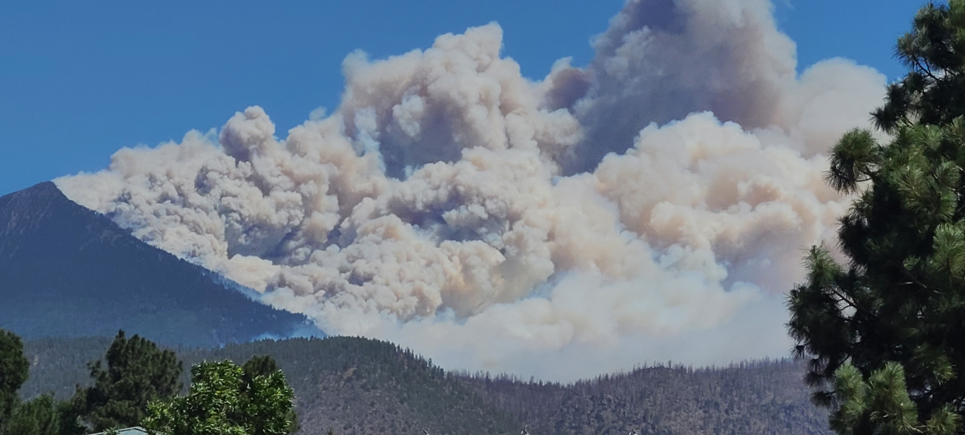
The name refers to the area/trail, but its called that due to the gas pipeline that runs through it. To my knowledge, none of that infrastructure actually caught on fire, but it was certainly a risk! The smoke was all from a very dry forest that lit up like a tinderbox. It was accidentally started by an unhoused man living in the surrounding woods while trying to burn toilet paper… Since the wind speed was high that day, it spread very quickly. I watched the fire climb from the base of that peak to the top in like 30 minutes.
CopeCola
- 2 Posts
- 4 Comments
Joined 3 years ago
Cake day: July 19th, 2023
You are not logged in. If you use a Fediverse account that is able to follow users, you can follow this user.

 5·8 days ago
Only Sith deal in absolutes, and he is absolutely too cold in this van…

 2·16 days ago
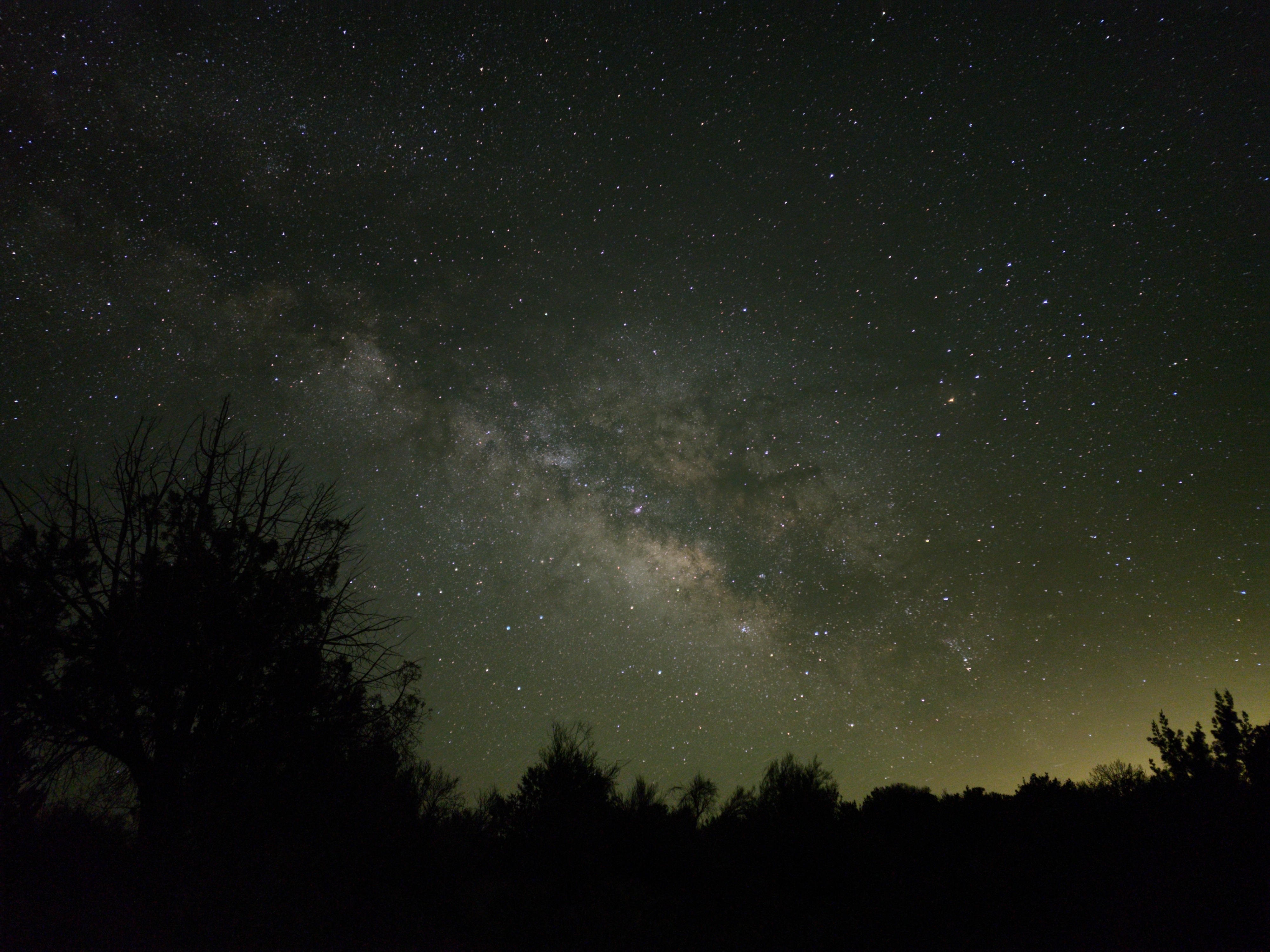
I miss it too. I used to live just north of here in Flagstaff (which is a dark sky city thankfully), and the Milky Way is still visible to the naked eye at night! Unfortunately something like 80℅ of North Americans and 60℅ of Europeans can no longer see it… It sucks for younger generations who might not even know what’s been taken from them.
Funny you say that. I’m currently living closer to Mount Rainier, and its top 3 in the US for eruption potential. It also looks exactly like Mount Saint Helens did before it went sideways…